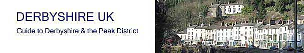
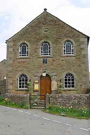
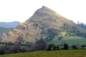
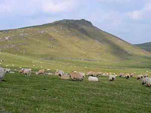
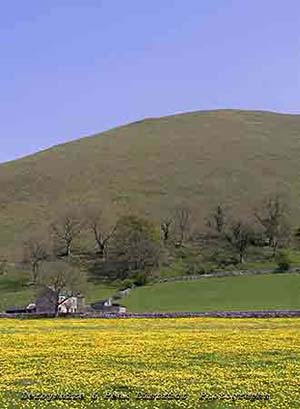
Earl Sterndale is a pretty, upland Peak District village, lying at 1100 ft above sea level, surrounded by a picturesque range of limestone hills including Crome Hill, Parkhouse, Hitter, Alderley Cliff and High Wheeldon. The hills are popular with walkers, and possess excellent views of the Dove and Manifold valleys. High Wheeldon was given to the nation to commemorate those from Staffordshire and Derbyshire who died during the Second World War and plaque at the summit commemorates the presentation. Earl Sterndale is situated 5 miles south of Buxton, at the northern end of the Dove valley.
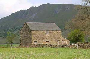
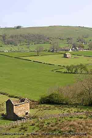
Earl Sterndale is surrounded by a number of farmsteads called 'granges', a reminder from the Middle Ages when much of this land was owned by Basingwerk Abbey and the granges were where, monks lived and worked the fields.
Earl Sterndale area |
Hollinsclough |
Hollinsclough |
Earl Sterndale area |
Earl Sterndale area |
Earl Sterndale area |
Earl Sterndale church |
Earl Sterndale area |
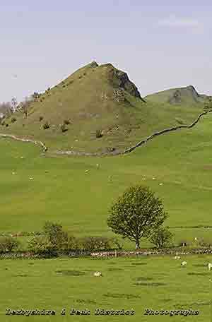
Crome Hill |
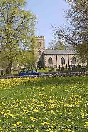
Earl Sterndale church |
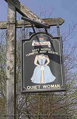
Earl Sterndale pub |
Earl Sterndale area |
Earl Sterndale area |
Dowel Dale contains Dowel cave, once inhabited by the earliest known settlers of this part of the Peak District. Prehistoric remains found here are exhibited at the museum in Buxton.
Most of the buildings were built of stone quarried locally, and it has been quarring, lead mining and agriculture that has sustained the local economy.
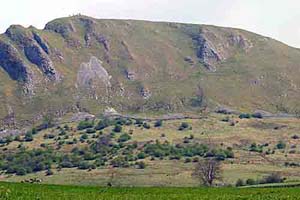
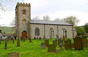
The village church, dedicated to St Michael, was built in 1828 on the site of an ancient chapel. It was substancially destroyed in 1941, when it was mistakenly bombed by the enemy, the only church in Derbyshire to be hit by a German bomb. It was restored in 1952. and still contains a Saxon font.
The village inn has an unusual name, the Quiet Woman. The pub sign depicts a headless woman, with the words 'Soft words turneth away wrath'. It is thought to depict one nagging wife known as chattering Charteris. The story goes that her husband lost control one day and cut off her head, to the approval of the villagers.
The village Wakes are held on the friday nearest to the 11th of October. Tradition has it, that the person who is most drunk on the friday before the Wakes, is elected mayor for the year. As good a method as any I can think of.