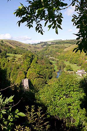
Monsal Dale
From its source on the gritstone moorlands west of Buxton, the River Wye cuts a southerly course through limestone country to Rowsley where it meets the River Derwent. It is not many miles long but it passes through some superb scenery, and a few dales. Monsal Dale is that part of the Wye valley between Water cum Jolly dale and the foot of Taddington dale, where it meets the A6 road.
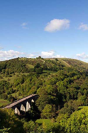
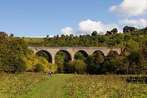
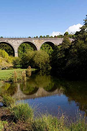
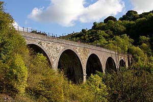
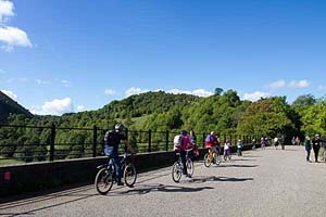
Here the valley is horse shoe shaped and sitting at the crest is Monsal Head, which provides one of the finest viewpoints in Derbyshire of the dale and river deep down below and of the aqueduct that once carried the Midland Red Railway Line but which has now mellowed considerably into the surrounding countryside.
At Monsal Head is a hotel, bar and restaurant and a large pay and display car park to cater for the thousands of visitors to it every year.
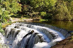
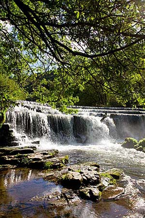
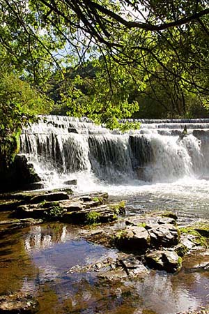
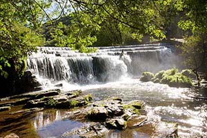
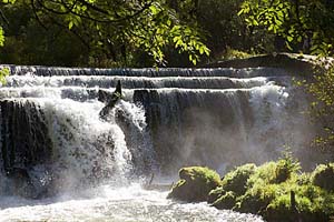
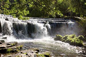
A short walk can be be made down into the dale, from here, and back up the other side of the river, passing the point where the Wye tumbles over a weir that has featured on many post cards and calenders.
High on the left stands the prominent headland of Fin Cop, a landslip which has traces of an iron age fortification at its summit. This is the only fort, of this particular era to be identified on the limestone, but the interior has been levelled by modern farming.
Monsal Dale |
Monsal Dale |
Monsal Dale |
Monsal Dale |
Monsal Dale |
Monsal Dale |
Monsal Dale |
Monsal Dale |
Monsal Dale |
Monsal Dale |
Monsal Dale |
Monsal Dale |
Monsal Dale |
Monsal Dale |
Another natural rock formation here is known as Hob's House. Legend has it, that Hob was a giant who emerged at night to thresh the corn of local farmers, who in turn rewarded him with a bowl of cream.
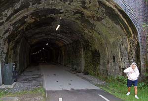
The viaduct was build in 1863 despite much protest at the time. It was the cause of John Ruskins famous outburst about the valley being gone and now every fool in Buxton can be in Bakewell in half an hour and every fool in Bakewell in Buxton. The Peak section of the line closed in the late 1960's and in 1980 the track was bought by the National Park who converted it into an 8 and a half mile footpath called the Monsal Trail., linking Coombs Road viaduct, south east of Bakewell to Wyedale, east of Buxton. Since then, several tunnels en route have had to be closed for safety reasons, but alternative paths had been opened. Recently the tunnels have been reopened.
Return to Derbyshire Dales menu